
| Leg | From | To | Distance (km) | Flight Time | Speed |
|---|
How to Use the Flight Time Calculator Between Airports
Calculate great-circle flight distance and estimated duration between any two airports — or plan a full multi-leg itinerary across up to five airports. Free, no sign-up, Excel export included.
Enter airports
Type any airport name, city, or IATA three-letter code (such as DXB, LHR, or JFK) in the origin field. Select the correct airport from the autocomplete dropdown, which shows the full airport name, city, and country. Then repeat for the destination field.
Set aircraft speed
Choose 890 km/h for a typical commercial airliner, 800 km/h for slower regional jets, or 920 km/h for faster wide-body aircraft. Use the custom speed field to enter any speed between 200 and 1,200 km/h — useful for private jets or flight simulation planning.
Add legs (optional)
Click Add another airport to add up to three more stops for a multi-leg route. Each additional airport adds a new leg — the connector between airports shows the distance and time for that segment as you calculate. Remove any stop with the × button.
Calculate and export
After selecting airports, click Calculate Flight Times to see the full route breakdown — distance in km, flight time in hours and minutes, and journey totals. Click Download Excel to export the complete results as a formatted .xlsx file. Or click any popular route card below the tool to load it instantly.
The calculator shows cruise-only flight time — it does not include taxi, take-off, climb, descent, or landing. On short-haul flights under 2,000 km, add 30–45 minutes to the result. For long-haul international flights, add 45–90 minutes. This brings the estimate close to actual block time shown on airline timetables.
The Complete Guide to Flight Time and Distance Calculations
How great-circle distance works, why flight routes curve across a globe, and how to use flight time calculations for travel planning, business itineraries, and aviation study.
What is a flight time calculator between airports?
A flight time calculator between airports estimates how long it would take to fly from one airport to another, based on the great-circle distance between the two points and the cruising speed of the aircraft. The result is displayed in hours and minutes — so a calculation that would give 6.18 hours in decimal form is shown as 6h 11min, which is immediately usable for planning.
Most online tools accept only two airports and give a single number. Unlike single-leg tools, this calculator handles up to 5 airports in sequence, computing each leg individually and summing the distances and durations into a full journey view. This makes it practical for round-the-world planning, multi-city business trips, and complex relocation routing.
What is great-circle distance and why do flights follow it?
A great-circle distance is the shortest distance between two points on the surface of a sphere, measured along the surface. Commercial aircraft follow great-circle routes because they minimise both flight time and fuel consumption — the two largest variables in airline operating costs. On a flat world map, these routes appear curved or even arched. In practice, a flight from London to Los Angeles traces a path that bends northward over Greenland and Canada rather than following a horizontal line across the Atlantic.
This calculator uses the Haversine formula, a mathematical method that computes the great-circle distance between two points given their latitude and longitude coordinates. The formula accounts for the Earth's spherical geometry and is accurate to within 1–2% of real-world flight distances. Professional flight planning software and navigation systems worldwide use the same method.
The formula calculates: a = sin²(Δlat/2) + cos(lat1) × cos(lat2) × sin²(Δlon/2), then distance = 2R × arcsin(√a), where R is the Earth's radius (6,371 km). Given latitude and longitude coordinates for two airports, this returns the great-circle distance in kilometres.
Popular flight routes — distances and times
These are some of the most searched route calculations, computed using the Haversine formula at a typical commercial cruise speed of 890 km/h. Practical block times will be 30–90 minutes longer due to ground operations and climb/descent phases.
| Route | Distance (km) | Cruise Time |
|---|---|---|
| Dubai (DXB) → London (LHR) | 5,498 | 6h 11min |
| New York (JFK) → London (LHR) | 5,539 | 6h 13min |
| Dubai (DXB) → Mumbai (BOM) | 1,928 | 2h 10min |
| Los Angeles (LAX) → Tokyo (NRT) | 8,815 | 9h 54min |
| Singapore (SIN) → Sydney (SYD) | 6,309 | 7h 05min |
| London (LHR) → Johannesburg (JNB) | 9,074 | 10h 12min |
| Dubai (DXB) → Singapore (SIN) | 5,840 | 6h 34min |
| Frankfurt (FRA) → New York (JFK) | 6,200 | 6h 58min |
Key features of this flight time calculator
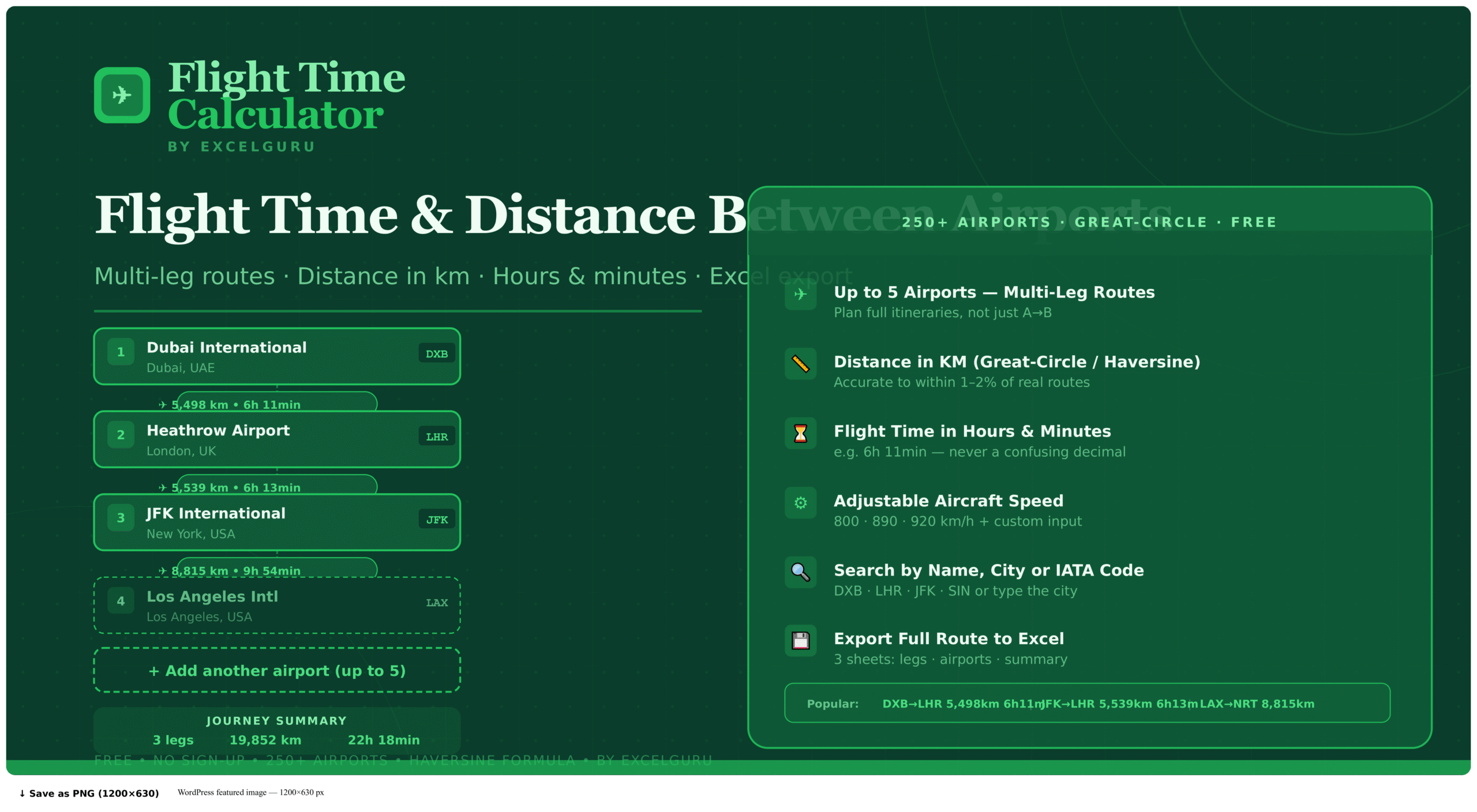
Add up to 5 airports in sequence to plan multi-city trips, round-the-world itineraries, or complex business travel circuits. Each leg shows its individual distance and flight time, and a summary view gives journey totals.
Flight times are always displayed in hours and minutes — never as a decimal like 6.18 hours. This makes results immediately usable for building itineraries, estimating arrival times, and comparing route options.
Three speed presets (800, 890, and 920 km/h) plus a custom input accepting any speed from 200 to 1,200 km/h. Useful for private jet planning, flight simulation, light aircraft navigation, and aviation training exercises.
Search by airport name, city, country, or IATA three-letter code. The autocomplete dropdown shows the full airport name and location. Over 250 major international airports are included, from major hubs to regional airports across all continents.
Download a formatted .xlsx workbook containing the complete leg-by-leg breakdown with IATA codes, full airport names, cities, countries, distances, flight times, and the speed used. Built entirely in the browser — no data sent anywhere.
A grid of popular flight routes — including Dubai to London, New York to London, Singapore to Sydney, and others — loads any route instantly with one click. Each card shows the distance and estimated flight time as a quick reference.
Who uses a flight time calculator?
Add each destination as a separate leg to see total airborne time across the whole journey. Compare different routings — for example, flying Dubai to New York via London versus direct — to find the most time-efficient option.
Estimate total travel time for multi-city roadshows, conference circuits, and client visit schedules. The Excel export makes it straightforward to include accurate flight duration data in travel proposals and expense reports.
Use great-circle distance calculations to understand navigation concepts, practice flight planning, and verify distances between waypoints. The custom speed input supports different aircraft categories, from light aircraft at 200 km/h to commercial jets at 900 km/h.
Calculate total journey times for employee relocations and international assignments via connecting hubs. Specifically, the multi-leg feature handles complex routes such as Dubai to a destination country via a European or Asian transit airport.
The calculator shows cruise-only flight time based on a constant speed and a straight great-circle path. Actual airline block times are longer because they include taxi time (10–30 minutes), take-off and climb (15–25 minutes), descent and landing (20–30 minutes), and any air traffic control-mandated routing deviations. For practical scheduling, add 30–45 minutes on short-haul routes and 45–90 minutes on long-haul routes.
Frequently Asked Questions
Common questions about flight time accuracy, great-circle routes, multi-leg planning, and the airport database.